Conservancy acquires 202 acres in Pemberton Township

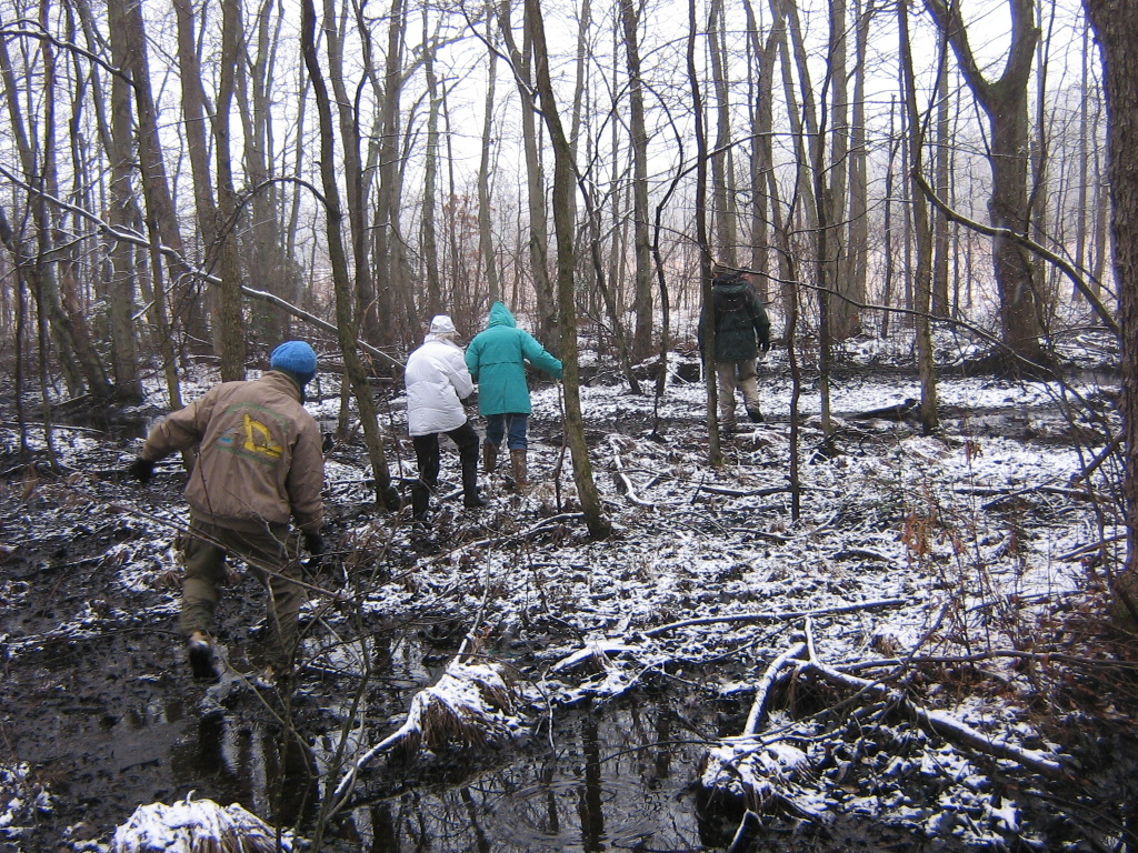
The Rancocas Conservancy is pleased to announce that a long abandoned blueberry farm in Pemberton Township, Burlington County has been permanently preserved as open space. The new preserve will be named Bucks Cove Nature Preserve.

The 202-acre property is located between disconnected portions of the 33,647 acre Brendan T. Byrne State Forest, not far from Whitesbog Village. Importantly, the property contains extensive wetlands and the pristine water of Bucks Cove Run that feeds the North Branch of the Rancocas Creek. The Rancocas provides clean drinking water to millions of users in downstream communities which draw water from the Delaware River, notably Philadelphia, which has a major water intake just downstream of the mouth of the Rancocas.

Major financial assistance was provided by the Pinelands Commission, the Open Space Institute and the New Jersey Green Acres Program.

To See Press Release Click Here



Read about "The Forks of Rancocas Creek: A History" by Paul W. Schopp.

In January 2013, Burlington County Historian Joseph Laufer received a request from the Burlington County Division of Parks for information on the history of the portion of the Rancocas State Park located in Hainsport Township in the area traditionally known as the “Forks of the Rancocas” (or simply the “Forks”) which is formed by the confluence of the North and South Branches of the Rancocas Creek. Mr. Laufer enlisted the assistance of Paul W. Schopp to research the topic for the county. This report is the result of Mr. Schopp’s inquiry into the history of the Forks.

Download the Full Report Here


The Road Back to a Healthy Forest

The Rancocas Conservancy applauds the NJDEP Division of Parks and Forestry for their recently unveiled Motorized Access Plan (MAP) for Wharton State Forest.  It marks an impressive step forward in the management of our State lands:  protecting natural resources while offering ample opportunity for responsible off-road motoring.  With an easy-to-read map and corresponding signage in the field, the public can explore nearly 225 miles of sand roads with the confidence that they will not trample sensitive habitats or find themselves  in areas too dangerous for safe passage.    The MAP also makes the enforcement of the rules against illegal off-roading much easier which will hopefully turn the tide of the tremendous destruction that Wharton State Forest has suffered in recent years under the wheels of reckless drivers.  


As managers of public open space ourselves, the Conservancy is keenly aware of the challenges that come with park management especially when it comes to ensuring a proper balance of public access and protection of natural resources.   Our hope is that this plan not only succeeds in improving the management of Wharton State Forest, but that it becomes a model for the management of all State Parks, Forests and Wildlife Management Areas so that the legacy of our natural heritage can be enjoyed today and for generations to come.

http://www.nj.gov/dep/newsrel/2015/15_0065.htm

http://www.state.nj.us/dep/parksandforests/parks/maps/wsf_motorized_access_plan.pdf